Runway Coordinates
Decimal Degrees (WGS84)
| Latitude | Longitude |
|---|---|
| 42.17243 | -116.875084 |
Degrees, Minutes & Seconds
| Latitude | Longitude |
|---|---|
| N42 10 20 | W116 52 30 |
GPS
| Latitude | Longitude |
|---|---|
| N 42 10.346 | W 116 52.505 |

- click to enlarge -
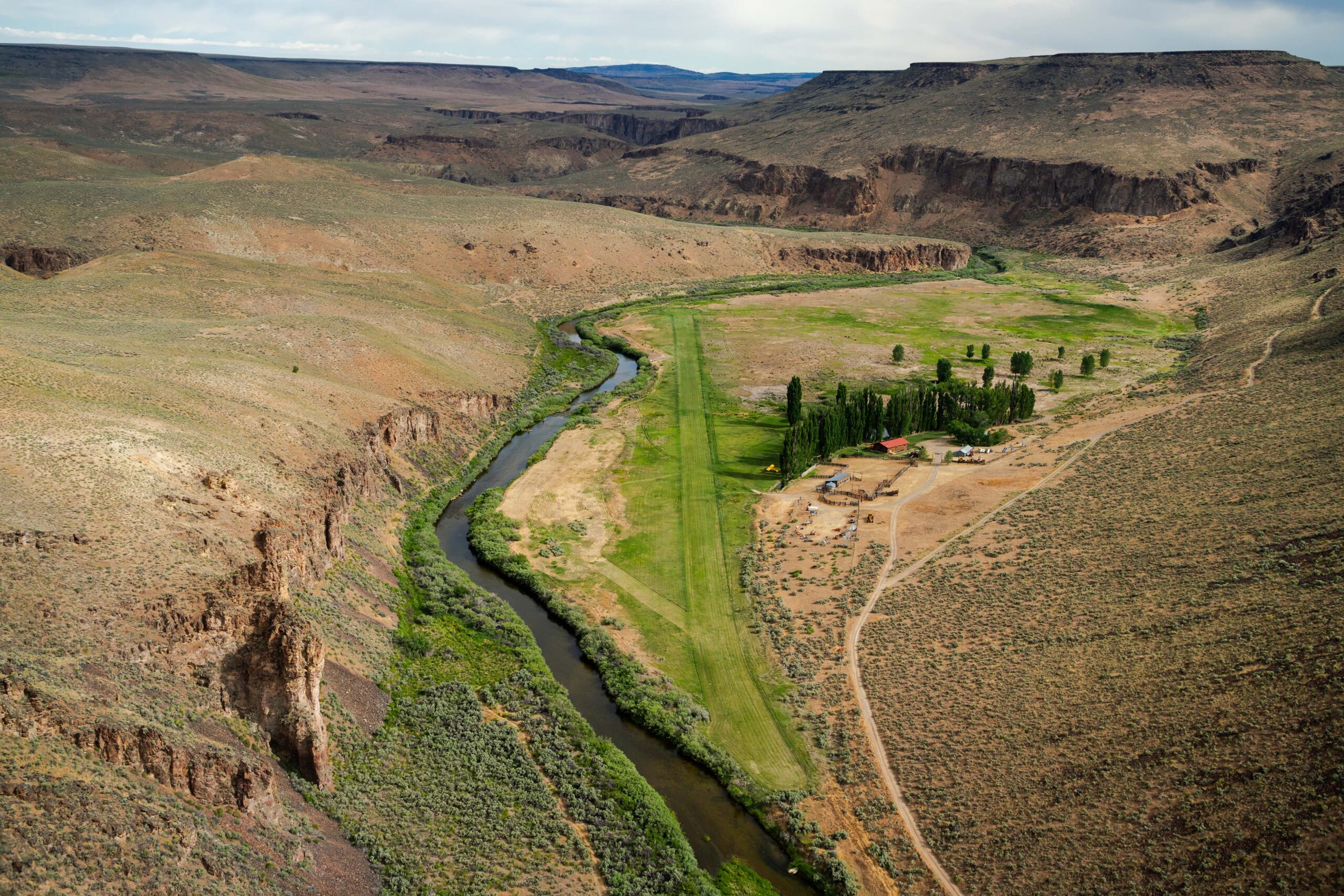
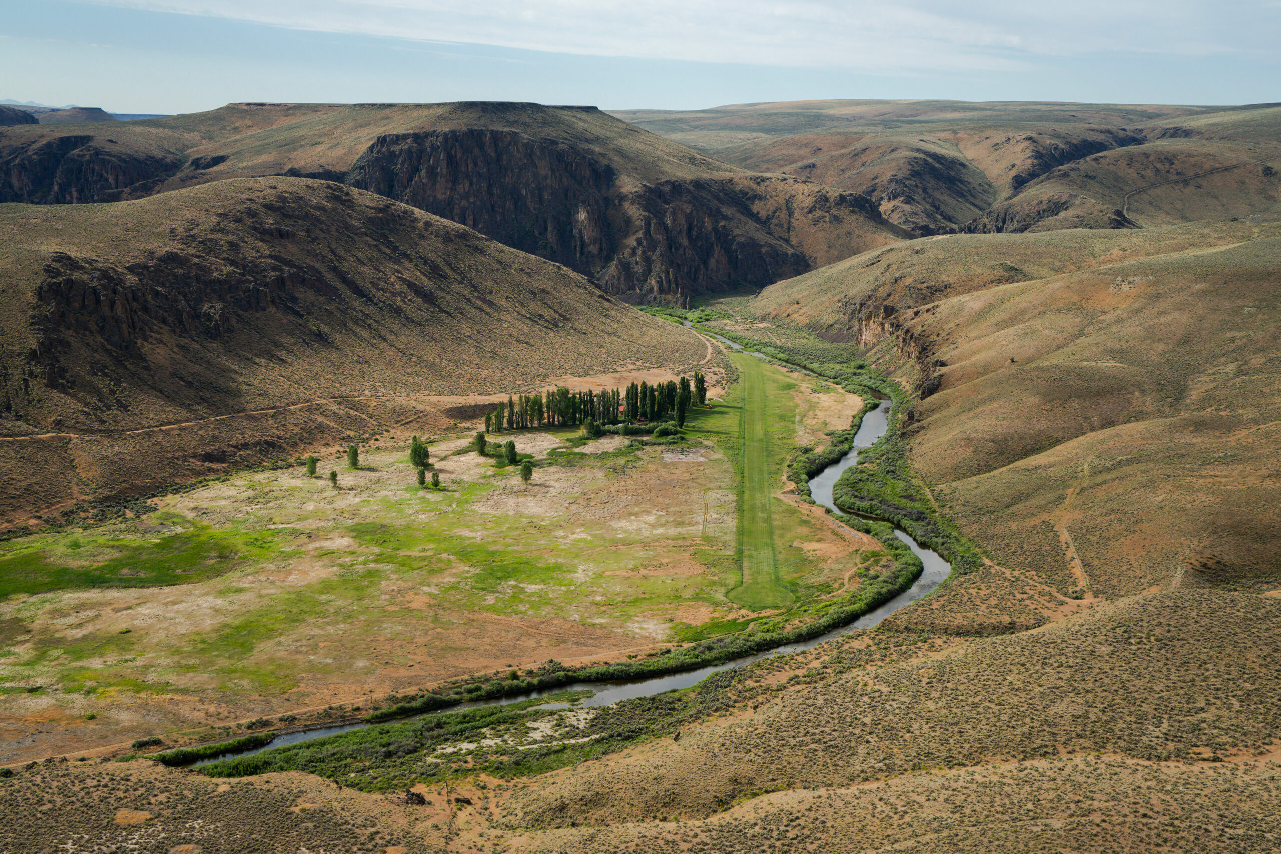
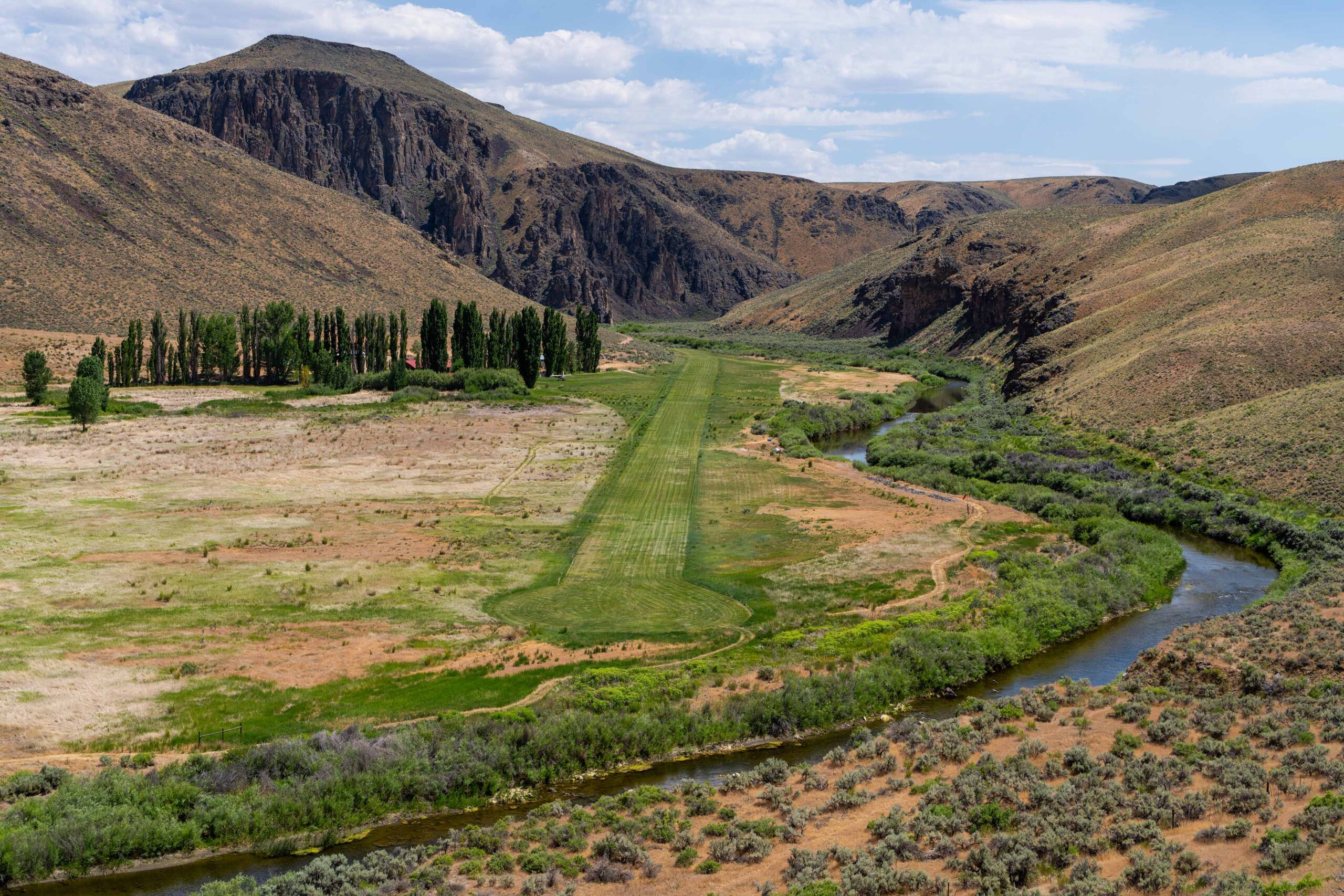
Landing at the 45 Ranch is at your own risk. The airstrip is 2,700’ long by 60’ wide at a field elevation of 4,300’ with terrain obstructions at each end of the runway. Pilots should be experienced and proficient in both mountain/canyon flying and high density altitude operations. Do not land if there are sprinklers in operation on the runway, there is an alternate BLM strip approximately 2 mile east. The location is remote and there is no fuel available at the 45 Ranch, so please plan accordingly.
powered by Ambient Weather